
Walk an Urbana Street
A sound Urbana street directory search moves from the physical place to the names attached to official records. Begin with the exact street spelling and city. A parcel is a mapped piece of land with its own property index number, or PIN. That PIN links the assessment card, tax record, map, and recorded-deed trail even when a street name changes. The current owner is useful, but ownership alone does not prove who sleeps at the address.
Work in a set order and record the date of every result. The public systems update on different schedules, and a directory entry can describe a resident, boarder, business, or corner location. This five-step route keeps those roles separate:
- Run the house number, street name, type, and Urbana city value in the Property Tax and Assessment Inquiry. Save the PIN, situs address, owner, and separate tax-mailing line.
- Open CCGISC Maps, identify that PIN, and inspect the parcels along the same block. Use subdivision and municipal-boundary layers when lines are unclear.
- Use the state registration lookup only to check one known person. It is not a public street-wide voter list.
- Put each PIN into Recorded Deeds. Preserve instrument dates, grantors, grantees, and legal descriptions.
- For older occupants, search a reverse or criss-cross directory by address, then confirm the name in an alphabetical directory or newspaper.
The sequence builds evidence rather than a guessed household. When the goal shifts to an earlier era, the Urbana city directory collections explain the available volumes and how their abbreviations work.
Search Urbana Streets in Devnet
Devnet supports a whole-street search without requiring a house number. Enter Street Name, Street Type, and City, then narrow a large return with a number or PIN. Advanced Parcel Search adds sale dates and prices, township, tax district, property class, and tax-year controls. The ordinary parcel form does not offer an owner-name or ZIP field. A separate mobile-home tab does expose the owner name shown on the tax bill.
| Devnet field | Format | Required | Street-use note |
|---|---|---|---|
| Parcel Number | Text, dashes optional | No | Best exact bridge to maps and deeds |
| House Number | Number | No | Leave blank for a street-wide return |
| Street Name / Type | Text and type | No | Combine the components when needed |
| City | Text or list | No | Use Urbana to reduce countywide matches |
| Sale Date / Price | Ranges | No | Advanced filters for dated transfers |
| Tax Year | Low and high | No | Displayed bounds do not prove coverage |
Read the parcel card in order: PIN, physical situs address, current owner and mailing line, tax year, class, assessment, sale, improvements, legal description, then GIS link. Devnet displayed a data update of August 21, 2026 during research, but it does not publish a complete historical cutoff.
Note: An owner-occupied assessment flag is evidence about a classification or exemption, not a list of everyone at the address.
Map Urbana Streets by Parcel
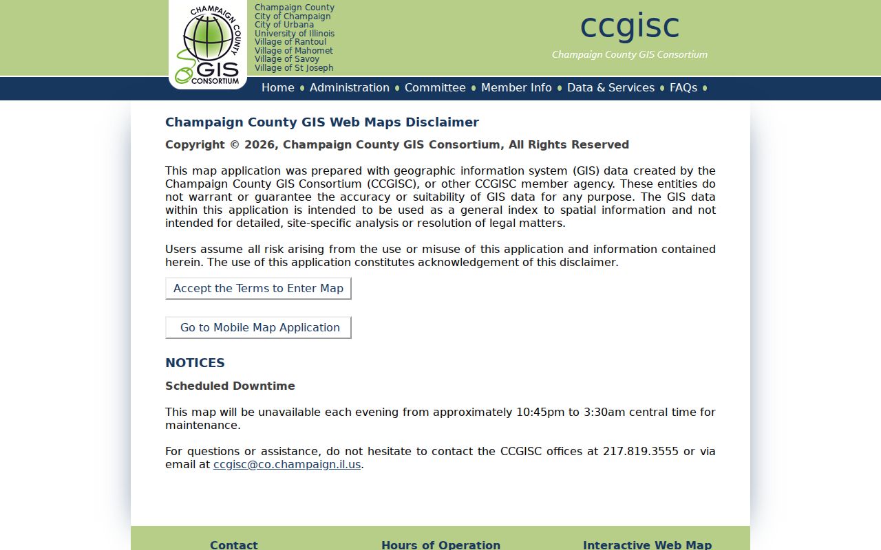
CCGISC turns an address list into mapped geography. Search by PIN, subdivision, intersection, or address. For several properties, Select By Map draws a box around the street segment. Advanced Query can find street values, validate a query, run it, sort the selected rows, and zoom to or identify a parcel. Useful layers include lots, subdivisions, zoning, precincts, municipal limits, census areas, aerials, and tax atlases.
The local tutorial carries an unusual warning: ordinary address search may lag behind the Add/Select/Modify Single Address layer. If a new or odd address is missing, try its PIN, select it on the map, or call CCGISC at 217-819-3555. Public viewing is free, although the map is not a legal survey or site-specific analysis. Nightly maintenance is roughly 10:45 p.m. to 3:30 a.m. Central.
The CCGISC parcel viewer appears in the captured image below. Its map-first layout is why a PIN can succeed when a typed street query does not.
Urbana Street Directory Sources
No source answers every street question. The assessor identifies the tax owner; GIS shows the legal parcel; a deed names parties to a recorded transfer; permits date work; and a historical directory may place a listed occupant there. These Urbana records are keyed by address or PIN:
| Record Set | Keeper | What It Shows | Access |
|---|---|---|---|
| Parcel and tax roll | County Assessment / Devnet | Owner, mailing and situs addresses, sales, class | Free web form; office questions |
| GIS parcel map | CCGISC | Adjacent parcels, lots, districts, aerials | Free viewer; map disclaimer |
| Recorded deeds | County Recorder / CCGISC | Grantor, grantee, date, instrument trail | Free leads; paid images or counter |
| Voter lookup | State Board / County Clerk | One-person registration and polling context | Staged identity search; redactions |
| Urbana permits | City / Illinois Open Data | Issue date, parcel, type, applicant, status | Dataset since 1999; FOIA fallback |
| Local directories | Urbana Free Library | Past occupant, business, boarder, cross street | Uneven volumes and abbreviations |
The PIN is the strongest shared key. Street wording connects the record to directories and permits, while the legal description protects against following the wrong parcel after a subdivision or name change.
Build an Urbana Deed Chain
For every parcel in a street directory result, copy the PIN into the Recorder's deed page. Sort the return, note each instrument date, and distinguish the grantor, the person transferring an interest, from the grantee, the person receiving it. The public index warns that a result may show only one named party even when the document contains more.
Open the CCGISC Recorded Deeds index before viewing the captured screen below. Its PIN route offers free leads, while full instruments may require paid Tapestry access or a request at the Recorder counter.
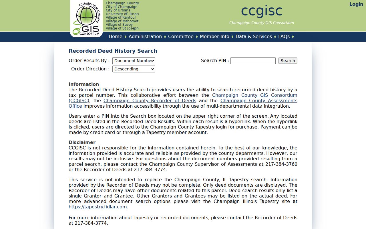
Always verify the legal description in the image or office copy. The exact online start year was not found. When the PIN trail stops, use the Recorder counter, older deed books and indexes, IRAD microfilm, or library maps rather than assigning a made-up cutoff.
Urbana Permits Date Street Changes
The Illinois Open Data set for Urbana community-development permits contains records since 1999. Entries can include permit number, issue date, type, address, parcel, improvement type, fee, applicant, mapped address, and status. This is dated evidence that work was recorded at a site. An applicant can be an owner, contractor, or organization, so the name is not proof of residence.
CitizenServe is the current application and status gateway, but its exact public search fields were not exposed in the research pass. For a specific permit, inspection, or code file, send the City an Urbana FOIA request with the address, PIN, date range, permit number if known, and record type. Normal FOIA timing is five business days, subject to statutory extensions.
Note: The requester submission itself is public, so provide only the details needed to identify the municipal file.
Read Urbana Address Language
Urbana's address system radiates from an east-west baseline and north-south meridian. Blocks commonly advance in 100-number groups. The documented parity rule places odd numbers on south and west sides, and even numbers on north and east sides. A postal city line still does not prove that a parcel falls inside Urbana's legal boundary.
- Parcel
- A mapped unit of land identified by a PIN.
- Situs address
- The physical location of the parcel, distinct from the address used to mail its tax bill.
- Plat
- A recorded map that lays out subdivisions, lots, streets, or alleys.
- Criss-cross directory
- A volume arranged by address or phone number rather than only by surname.
The 1833 town plat adds a historical trap and a useful clue. Market later became Broadway, while old directories may use corners, named alleys, or original street language. The Urbana Free Library account of original streets and alleys helps translate those entries. No verified citywide renumbering year was found.
Urbana Voter Tools Are Individual
The Illinois registration lookup starts with a known person's name, birth date, and ZIP, then moves to street information. It can confirm a match and polling context. It cannot display a public roll of all voters on one Urbana street. The county polling form works in the other direction, taking an address to a polling location, not to registered names.
Illinois voter-file law redacts street number and other sensitive fields from electronic releases. Address Confidentiality Program records receive special protection, and controlled voter data is governed by purpose restrictions. For street-by-street civic geography, use CCGISC precinct and district layers without inferring who registered or how anyone voted.
When Urbana Street Search Fails
A blank web result does not mean the parcel or record never existed. First remove ZIP and owner assumptions, normalize the street type, and search by map. If the typed address is stale, identify the parcel and carry its PIN into the assessment, tax, and deed systems.
For older records, contact the County Assessment Office or Recorder, review IRAD deed indexes, and ask the Urbana Free Library archives about maps, street-indexed finding aids, and directories. The City's current permit portal can be supplemented by Open Data and a focused records request. These access channels matter because the public tools do not share one historical cutoff.
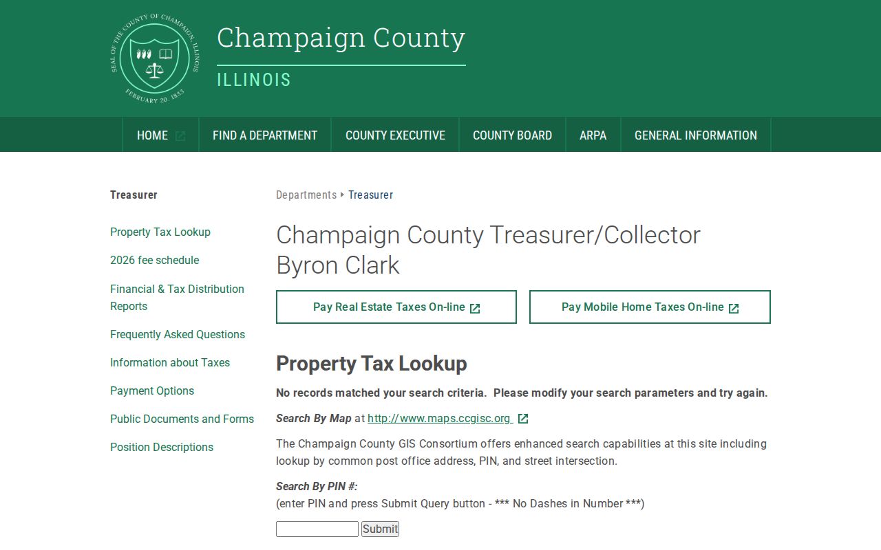
The County Treasurer also provides a property tax lookup by PIN or location. The successful captured page below shows the separate tax route that can help when assessment search wording fails.
Limits of Urbana Street Records
An Urbana street directory built from official sources cannot name every current occupant. Parcel rolls identify tax owners and mailing contacts. Deeds identify parties to instruments. Permit records name applicants. None of those roles automatically means resident. DMV address data is restricted, utility customer lists were not found as a public source, and sealed court, juvenile, vital, and medical information remains protected.
Commercial profile tools can merge marketing data with public records, but names may lag moves or join the wrong person to an address. An official record with a clear custodian, date, and role is safer for family research, property curiosity, scam checks, and civic study. Confirm any living person's connection through more than one lawful source.
Lawful use. Urbana address records are for personal, lawful research. Never use them to stalk, harass, threaten, or expose a protected person.